WalkSafe
App for finding safe walking paths at night
[CodeBase]
Partners: Tanvi Bhargava, Jason Chadwick, Adrian Kager

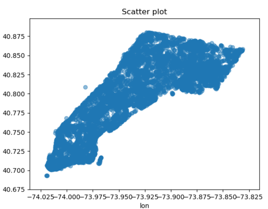
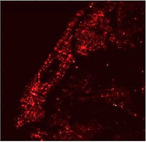
Our goal was to create a program that, given a start and end location, gives a user the safest timely walking path to their destination. We used Manhatten as a test area since they had a lot of crime data for us to use.
Implementation
First, we downloaded all street nodes from OSM, a mapping API. Next, we assigned each node a value based on the amount of crime in the area, specifically weighting crime intensity via a function that took in severity of a crime as well as decayed in value deending on distance from a node. We also only considered crimes within a certain latitude longitude value of a given node. From here, given a path, we would then run an A* search on the start and ending nodes, with the weight of each node being the crime rating we had assigned.

